The glaciologists in this picture are kayaking down part of a meltwater ravine, towing a radar between them to scan the glacier below – one of the largest in Greenland. This section of the glacier is called a ‘floating tongue’, so called as it is thinner having flowed past the bedrock underneath. Though anchored by the sides of the fjord, it rests on the fjord water.
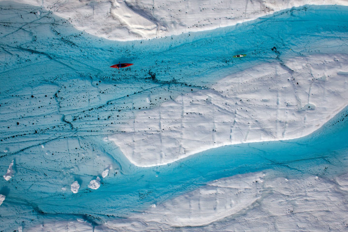
Glaciologists tow a radar between them to scan the glacier below.
This means kayaking its ravines is less risky than kayaking higher up on the ice sheet (which is not such a good idea).
Scientists are explorers too, especially those that rely on remote fieldwork to bring back the data necessary to advance their research. Glaciologists and physical oceanographers use their knowledge of their subject to evaluate risk; here an awareness of the ‘hydrology’ of a glacier means they can enjoy the adventure of their research, but still come home safely.
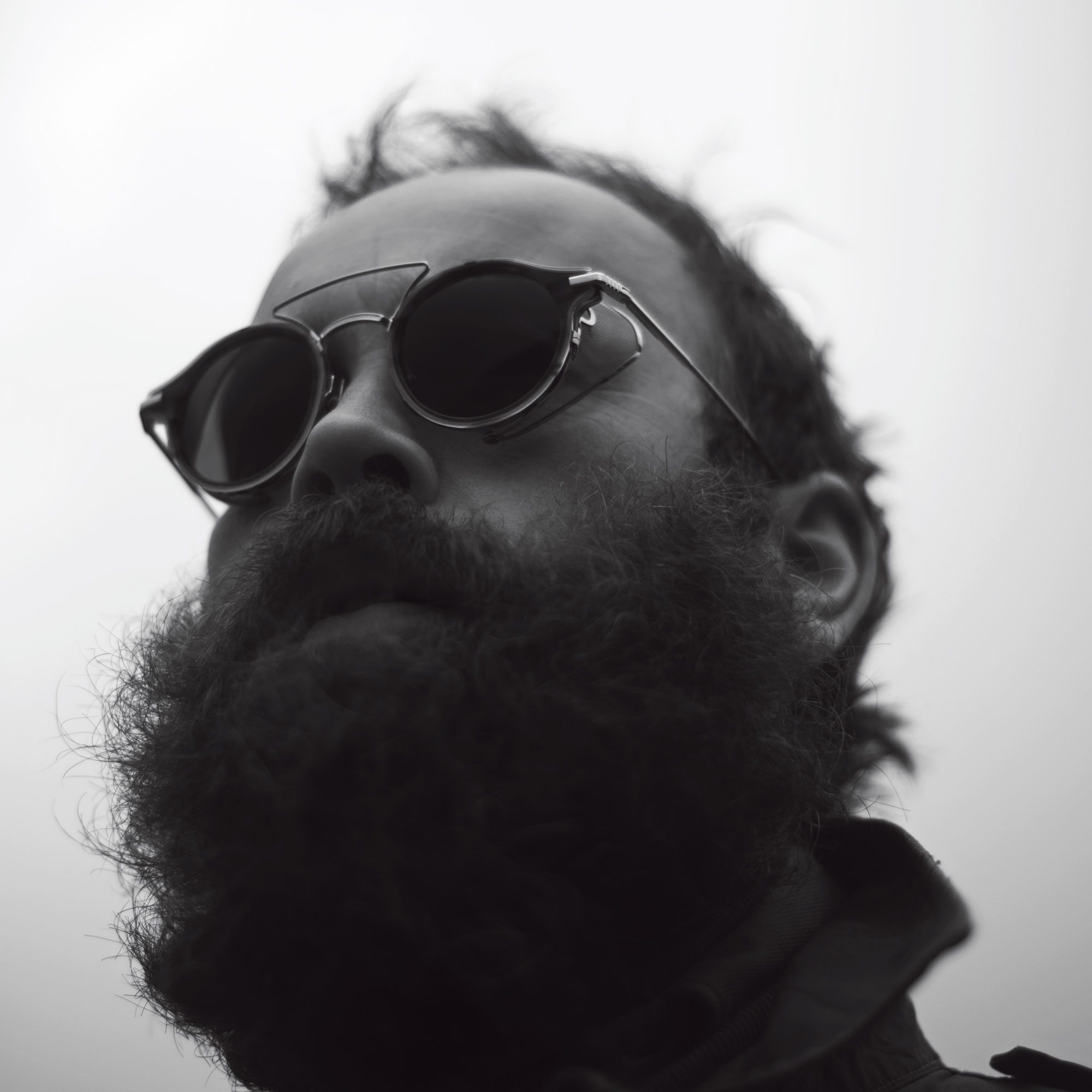
Nick Cobbing is a landscape photographer based in Stockholm.
