Surprisingly – for an area built on a flood plain and an active volcanic belt, and beset by frequent typhoons – the small fishing village of Edo would, by the 18th century, become the de facto capital of Japan. Yet Tokyo, as it became known in 1868, is now the largest megacity on the planet, swelling over some 13,500 square kilometres to house more than 50 million people, despite the myriad of geological challenges it faces.
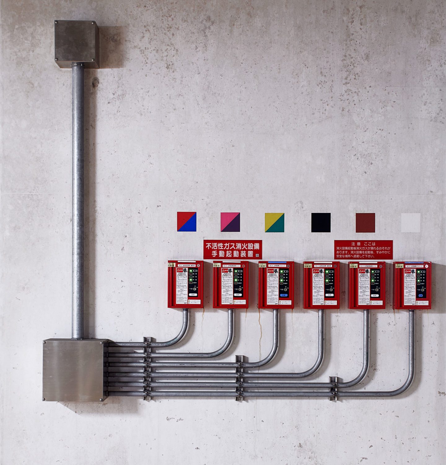
A panel in the pump room.
Flooding is nothing new to Tokyo and its surrounding area, but with the region’s rapid urbanisation since the middle of the 20th century, the threat of catastrophic flooding has grown ever more severe; a typhoon in 1991, for example, flooded 100 square kilometres, over 30,000 homes and caused the deaths of 52 people. With existing defences struggling and urban space at a premium, the government’s engineers looked underground.

Where the pressure-adjusting tank connects to one of the drainage silos.

The central control room. As of March 2016, the system has been used to control 100 floods since its partial opening in 2002, an average of seven or eight times a year.

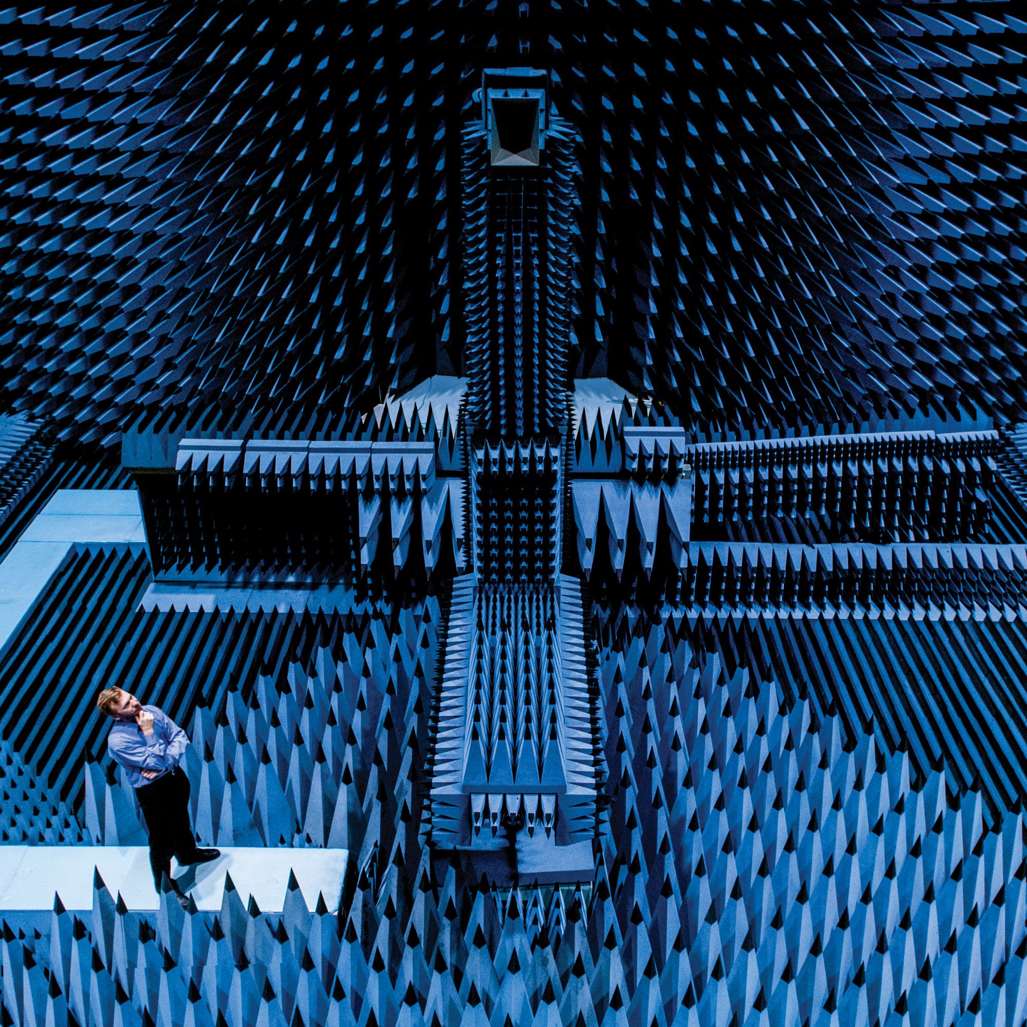
From the underground channel the floodwater empties into the pressure-regulating tank – known as the ‘Temple’ for its colonnade of 59 pillars, each weighing 500 tonnes.
The result was the Metropolitan Area Outer Underground Discharge Channel, a series of vast concrete silos built between 1993 and 2006 that each drain five rivers – stretching from the Oootoshifurutone in Saitama prefecture, north of Tokyo, to the drainage pump station at the Edo River in the city itself – connected by a 6.3km-long channel.
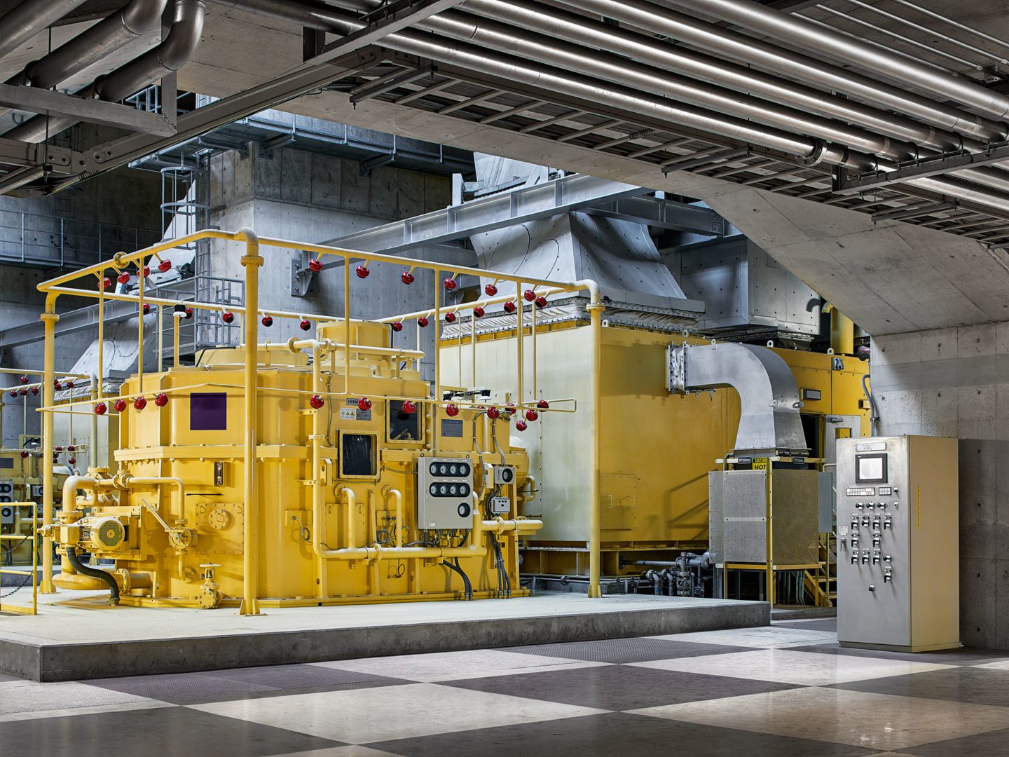
One of the gas-powered pumps, rated with an output of 10,300kw, that are quieter and smaller than the diesel pumps used in similar, smaller flood drainage systems.
With each silo around 70 metres tall and 30 metres wide – large enough to fit the Statue of Liberty or a space shuttle inside – it is the biggest storm drain in the world. Though the cost of the project – $3 billion – was remarkable, the consequences of not undertaking the project would have been greater. As Takayuki Yabe, the system’s subsection chief, explains, “If it was not built, there would have already been cases in which flooding damage was enormous.”

Takayuki Yabe – “When typhoons 18 and 19 hit in September 2015 we handled about 19 million cubic metres of water – the biggest inflow so far. The system made a huge impact on the flooding. I feel proud working here – we completed such a large-scale project in such a short space of time and we have a track record of drastically reducing damage in the early stages of flooding.”

Looking down into a vast silo that diverts floodwater away from one of the five rivers to the 10-metre-wide underwater channel, running 50 metres below the surface.